CHCNAV releases CoProcess point cloud software
AFBytes Brief
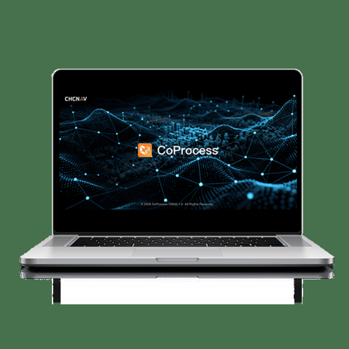
CHCNAV announced the next generation of its CoProcess software for point cloud handling. The update targets faster generation of survey deliverables. The product addresses professional surveying and mapping workflows.
Why this matters
Improved surveying tools can lower costs for infrastructure and construction projects that ultimately affect taxpayer-funded public works.
Quick take
- Money Angle
- Survey firms may reduce processing time and labor costs when adopting the updated platform.
- Market Impact
- Geospatial software vendors could face incremental competitive pressure in the survey segment.
- Who Benefits
- Engineering and construction companies gain access to faster point cloud deliverables.
- Who Loses
- Legacy survey software providers may lose market share if users migrate.
- What to Watch Next
- Observe adoption announcements from major surveying firms and any integration partnerships.
Perspectives on this story
AI-generated analytical lenses meant to encourage you to think across multiple frames. Not attributed to any individual; not presented as fact.
Household Impact
How this affects family budgets, jobs, and day-to-day life.
Faster surveying can modestly reduce timelines and costs for public infrastructure projects.
America First View
How this lands for readers prioritizing American sovereignty, borders, and domestic industry.
Domestic adoption of efficient survey tools supports U.S. construction productivity.
Institutional View
How established institutions -- agencies, courts, allied governments -- are likely to frame it.
Public works agencies would evaluate the software under standard procurement and accuracy standards.
Civil Liberties View
How this reads through the lens of constitutional rights, free speech, and due process.
No civil liberties considerations arise from professional survey software.
National Security View
How this matters for defense posture, intelligence, and adversary deterrence.
Improved geospatial tools can support critical infrastructure mapping and maintenance.
Adversary View
How foreign rivals are likely to frame this story. Not presented as fact and does not reflect the views of AFBytes.
No clear adversary framing applies to this story.
AFBytes analysis is AI-assisted and generated from source metadata, article summaries, and topic context. It is intended to help readers think through implications, not replace the original reporting from manilatimes.net. See our AI and Summary Disclosure for details.